MS 1759 is a method of encoding feature and attributes that provides the details and description of geospatial information exchange.
MyGeoName is a database that contains name and location information about geographical entities located throughout Peninsular Malaysia, Sabah and Sarawak. This database appears in a web gazetteer listed in alphabetical order.
MyGDI Explorer is an online metadata catalogue which enables user to search, view, verify, share and manage geospatial metadata.
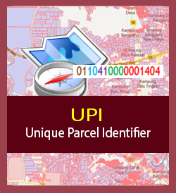
UPI is a unique method of identifying land parcels (lot) derived from a combination of finely grounded parcels of state, district, province, section and lot number. The UPI application can display spatial and textual information for finely tuned landscapes and landmarks.
MyGeoTranslator application stands for Malaysia Geospatial Translator to enable users to perform geospatial data processing online, such as data format conversion, coordinate system transformation, data structure conversion according to MS1759 structure - Geographic Information / Geomatics - Features and Attribute Codes and etc.
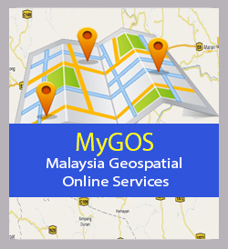
Malaysia Geospatial Online Services (MyGOS) is a geospatial information sharing platform for Government Agencies online that enables information sharing in a secure environment. MyGOS assists any Government Agencies which lack in infrastructure facilities such as GIS software and hardware by developing GIS Web Apps using this platform.
MyMaps is a Geo CMS open source platform that supports OGC standard to create, share and collaborate with various spatial data.